
 Blog
Blog
Kedarnath Dham Yatra Tour Packages
Haridwar → Kedarnath → Haridwar
Starting from ₹9,999 / Person
4 Days / 3 Nights
Book Now
Quick Answer
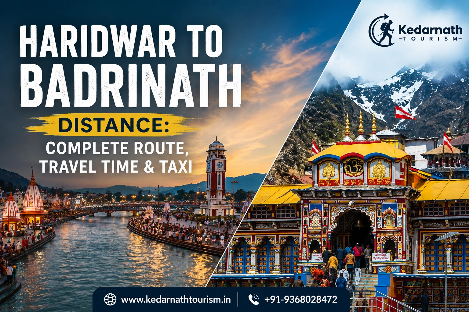
The distance between Haridwar and Badrinath is approximately 315 to 320 km by road, and the drive usually takes around 10 to 12 hours depending on traffic, weather, and the condition of the mountain stretches near Joshimath. The route runs via Rishikesh, Devprayag, Srinagar, Rudraprayag, Karnaprayag, and Joshimath before climbing to Badrinath, which sits at an elevation of roughly 3,100 metres. There is no direct train or airport at Badrinath, so most travellers go by private taxi, shared cab, or a state-run bus, with an overnight halt often making the journey far more comfortable than attempting it in a single stretch.
Badrinath is one of the four sacred shrines of the Chota Char Dham and, along with Kedarnath, Gangotri, and Yamunotri, forms one of the most important pilgrimage circuits in North India. Haridwar, as the gateway to Uttarakhand and well connected by rail, road, and air, is where the vast majority of Char Dham travellers begin this leg of their journey.
On paper, the Char Dham Yatra looks like a straightforward road trip of a little over 300 km. In practice, the route climbs steadily from the plains of Haridwar (around 314 m) to Badrinath (around 3,133 m), and the road narrows into classic Himalayan mountain terrain past Rudraprayag. That climb, not the raw distance, is what shapes how long the journey actually takes and how it should be planned.
That said, the route itself is one of the most scenic in Uttarakhand. It follows the Ganga and then the Alaknanda river almost the entire way, passing through temple towns, river confluences (prayags), and small hill markets that make natural stopping points for tea, food, or an overnight halt.
For most practical purposes, here is what travellers need to know about the distance between Haridwar to Badrinath:
Detail | Approximate Value |
|---|---|
Distance by road (car/taxi/bus) | 315 – 320 km |
Aerial (straight-line) distance | About 155 – 160 km |
Travel time by car / taxi | 10 – 12 hours (excluding halts) |
Travel time by bus | About 12 hours, sometimes spread over two days |
Recommended halt | Rudraprayag, Karnaprayag, or Joshimath |
Elevation gain | From ~314 m (Haridwar) to ~3,133 m (Badrinath) |
Nearest railway station | Haridwar / Rishikesh (no direct train to Badrinath) |
Nearest airport | Jolly Grant Airport, Dehradun (roughly 280–300 km from Badrinath) |
One thing worth keeping in mind: the exact figure for the distance between Haridwar to Badrinath can vary by a few kilometres depending on the map service, road diversions, or seasonal bypasses around landslide-prone stretches. Treat 315–320 km as a reliable working number rather than an exact fixed figure.
For most travellers, the standard route for covering the distance between Haridwar to Badrinath is: Haridwar → Rishikesh → Devprayag → Srinagar → Rudraprayag → Karnaprayag → Chamoli → Joshimath → Badrinath. This is also the route followed by government buses and almost all taxi operators, since it stays on NH58 and NH7 (now renumbered under the national highway system) for nearly the entire stretch.
Stage | Approx. Distance from Haridwar | What to Expect |
|---|---|---|
Haridwar to Rishikesh | About 25 km | Smooth plains road; last major town before the hills begin. |
Rishikesh to Devprayag | About 95 km from Haridwar | First real mountain stretch; Devprayag is the sacred confluence of the Bhagirathi and Alaknanda rivers, where the Ganga is formally said to begin. |
Devprayag to Srinagar | About 110–140 km from Haridwar | A wider valley town with fuel stations, eateries, and lodging — a good short-break point. |
Srinagar to Rudraprayag | About 130–140 km from Haridwar | Confluence of the Alaknanda and Mandakini rivers. This is also the point where the road to Kedarnath (via Guptkashi and Sonprayag) splits off from the Badrinath road. |
Rudraprayag to Karnaprayag | About 175–190 km from Haridwar | Narrower hill road with several hairpin bends; a common overnight-halt zone for a two-day plan. |
Karnaprayag to Joshimath | About 250–260 km from Haridwar | Steady climb in altitude through Chamoli district; Joshimath is the last major town before Badrinath. |
Joshimath to Badrinath | About 315–320 km from Haridwar (final stretch ~45 km) | Steepest and most scenic part of the drive, with mountain views, Vishnuprayag confluence, and the final approach to the temple town. |
There is more than one way to cover the Haridwar to Badrinath distance, and the right choice usually depends on group size, comfort needs, and how much flexibility you want along the way.
Mode | Typical Duration | Best Suited For |
|---|---|---|
Private taxi / cab | 10–12 hours (non-stop) or spread over 2 days | Families, elderly travellers, groups wanting comfort and flexible stops |
Shared taxi / jeep | 11–13 hours, with more stops | Solo or budget travellers comfortable sharing a vehicle |
State-run / private bus | About 12 hours, sometimes overnight | Budget-conscious pilgrims and solo travellers |
Self-drive car | 10–12 hours, driver-dependent | Confident hill drivers travelling in daylight only |
Rail + road combination | Train to Haridwar/Rishikesh, then road onward | Travellers arriving from other cities by train |
There is no direct train service into the mountains beyond Rishikesh, and Badrinath itself has no airport or helipad in regular civilian operation, so road travel — by taxi or bus — remains the only realistic way to complete this route.
For most families, elderly travellers, and first-time visitors, a private taxi is genuinely the most practical way to cover the Haridwar to Badrinath distance. Unlike a bus, a dedicated cab lets you start early, stop wherever you like for photographs, meals, or a washroom break, and adjust the day if the weather turns. This matters more than it sounds on a route with this much altitude change.
If you’re planning the trip during peak yatra season, it helps to arrange your cab and stay well in advance, since availability tightens quickly. Kedarnath Tourism’s Char Dham taxi service from Haridwar covers one-way drops, round trips, and multi-day Char Dham circuits, so you can pick whichever fits your itinerary rather than forcing your plan around a fixed bus timing.
Badrinath Temple follows a seasonal opening schedule tied to the Hindu calendar — it typically opens around Akshaya Tritiya (late April to May) and closes near Bhai Dooj (October to November), remaining shut through winter due to heavy snowfall. Within that open window, the road conditions vary noticeably by season.
Season | Months | What to Expect |
|---|---|---|
Summer | May – June | Pleasant weather, clear roads, peak pilgrimage season — expect crowds and book taxis/stays early. |
Monsoon | July – September | Higher risk of landslides and road blockages on the hill stretches; travel with caution and buffer days. |
Autumn | September – October | Clear skies, good visibility, generally considered one of the safer and most scenic windows. |
Winter | November – April | Temple closed; heavy snow makes the upper stretches largely inaccessible. |
In practical terms, if your dates are flexible, late September to mid-October is often the sweet spot — the monsoon risk has passed, the crowds have thinned slightly compared to peak summer, and the mountain air is clear.
Costs on this route vary quite a bit depending on vehicle type, season, number of travel days, and whether you book a one-way drop or a round trip, so treat the figures below as a general planning range rather than a fixed quote.
Option | Approximate Cost Pattern |
|---|---|
State/private bus (one way) | Budget-friendly; among the cheapest ways to cover the haridwar to badrinath distance by bus |
Sedan taxi (per day / package) | Mid-range; suited to small families or groups of up to 4 |
SUV / Innova-type taxi (per day) | Higher than a sedan, but more comfortable for hill roads and larger groups |
Round trip vs one-way | Round-trip packages are often more cost-effective per km than booking two separate one-way taxis |
Typical add-ons across most operators include driver allowance, toll charges, and parking — these are usually modest on this route but worth confirming before you book. Fares also shift noticeably between peak season (May–June) and shoulder months, so it genuinely pays to lock in your taxi a few weeks ahead if you’re travelling in high season.
For a large share of pilgrims, this road isn’t a standalone trip — it’s one leg of the larger Char Dham Yatra, and it happens to run right through the junction town of Rudraprayag, where the road to Kedarnath splits off toward Guptkashi and Sonprayag. That overlap is exactly why so many travellers plan Badrinath and Kedarnath together rather than as two separate trips from Haridwar.
If your itinerary has room for it, this stretch of Uttarakhand also opens up the wider Panch Kedar circuit. From the Rudraprayag–Ukhimath belt, travellers commonly branch out to sites such as the Madhyamaheshwar Temple, the Omkareshwar Temple in Ukhimath, and the Tungnath Temple near Chopta, with a trek onward to Chandrashila for one of the best sunrise viewpoints in the region. Sari Village serves as a common base for the Tungnath–Chandrashila trek, and Ukhimath itself is where the seat of Kedarnath’s deity moves during the winter months.
None of this needs to complicate your Badrinath plan — it’s simply useful to know while you’re mapping out the places to visit in Uttarakhand along this general route, in case you want to extend the trip rather than book it as a single there-and-back journey.
Haridwar isn’t the only starting point for this journey — many travellers begin from Delhi, Rishikesh, or Dehradun instead, and it helps to see how those distances compare against the haridwar to badrinath distance.
Starting Point | Distance to Badrinath | Approx. Travel Time |
|---|---|---|
Haridwar | 315 – 320 km | 10 – 12 hours |
Rishikesh | 295 – 300 km | 9 – 12 hours |
Dehradun | 325 – 335 km | 10 – 12 hours |
Delhi | 525 – 540 km | 14 – 17 hours (usually split over 2–3 days) |
Joshimath | 42 – 45 km | 1.5 – 2 hours |
For most first-time pilgrims travelling from Delhi, the practical approach is to break the trip into stages — Delhi to Haridwar or Rishikesh on day one, then Haridwar to Badrinath (with a halt at Rudraprayag or Joshimath) over the next one or two days, rather than attempting the full 525+ km run in a single sitting.
From Kedarnath packages to full Char Dham yatras, every itinerary is designed for a safe, comfortable, and spiritually enriching journey.
Haridwar → Kedarnath → Haridwar
Starting from ₹9,999 / Person

Haridwar → Kedarnath → Badrinath → Haridwar
Starting from ₹13,500 / Person
Uttarakhand, India
Starting from ₹32,000 / PersonOnce you’ve covered the haridwar to badrinath distance and reached the temple town, it’s worth budgeting an extra half-day to see what’s around it — most of these sites sit within a short drive or an easy walk of the main temple.
Place | Distance from Badrinath | What It Is |
|---|---|---|
Mana Village | About 3 – 4.3 km | Often called India’s last village before the Tibet border; known for the Saraswati river, Bheem Pul, and Vyas Gufa. |
Tapt Kund | Right next to the temple | A natural hot-water spring where pilgrims traditionally bathe before darshan. |
Vasudhara Falls | About 5 – 9 km, plus a short trek | A scenic waterfall reached via a moderate trail from Mana village. |
Vyas Gufa & Ganesh Gufa | Near Mana Village | Cave shrines associated with the sages Ved Vyas and Ganesha, linked to the writing of the Mahabharata. |
Charan Paduka | A short trek from Badrinath | A viewpoint with footprint markings believed to be of Lord Vishnu, offering wide Himalayan views. |
Auli (via Joshimath) | About 45 km from Badrinath | A hill station and ski destination reachable by road or ropeway from Joshimath, popular as a side trip. |
One practical note: private vehicles are usually parked at the edge of Mana village, and the last stretch to some of these sites has to be covered on foot, so factor in comfortable footwear if you’re planning to see more than just the main temple.
Because this route climbs from the plains to well over 3,000 metres, the temperature difference between Haridwar and Badrinath on the same day can be dramatic — it’s common to start the morning in a light shirt and end it in a jacket.
Month | Haridwar (Plains) | Badrinath (Mountains) |
|---|---|---|
May – June | Warm to hot, 25°C – 38°C | Pleasant days, cold nights, roughly 5°C – 18°C |
July – September | Humid, monsoon rain | Cool and damp, higher landslide risk on the route |
September – October | Pleasant, cooling down | Crisp and clear, roughly 3°C – 15°C |
November onward | Cold, dry | Sub-zero temperatures; temple closes for winter |
Badrinath sits at over 3,100 metres, and the climb from Haridwar’s near sea-level plains happens over a single day or two — quick enough that mild altitude discomfort (headache, breathlessness, fatigue) is fairly common, especially for first-time hill travellers.
Since the haridwar to badrinath distance is rarely covered in one comfortable sitting, most travellers plan at least one night’s halt along the way. Here’s a realistic picture of what’s available at each stage:
The Haridwar to Badrinath distance of roughly 315–320 km isn’t a difficult journey on paper, but the altitude climb, narrow hill stretches past Rudraprayag, and seasonal road conditions mean it deserves real planning rather than a last-minute decision. For most families, elderly travellers, and first-time visitors, a dedicated taxi — with the option to halt overnight and branch toward Kedarnath if needed — remains the most convenient way to cover this route. If you’re firming up dates, it helps to check the Badrinath Temple opening dates first, then work backwards to your travel days. You can browse our Kedarnath Yatra package options, explore our full taxi service in Uttarakhand, or read more trip-planning guides on our travel blog. For a custom itinerary, feel free to contact us directly.
The most common way is by road — via private taxi, shared cab, or bus — covering roughly 315–320 km through Rishikesh, Devprayag, Srinagar, Rudraprayag, Karnaprayag, and Joshimath. There’s no direct train or flight into Badrinath, so the entire final leg has to be done by road, and the journey typically takes 10–12 hours if done in one stretch, or two comfortable days with an overnight halt.
Both routes overlap up to Rudraprayag. From there, the Kedarnath road branches toward Guptkashi and Sonprayag (followed by a trek to the temple), while the Badrinath road continues via Karnaprayag and Joshimath. Most travellers doing both temples book a private taxi for the full circuit, since it avoids re-arranging transport at the Rudraprayag junction.
You can go by private taxi, shared jeep, or a state-run/private bus. A private taxi is generally recommended for families, elderly travellers, and anyone prioritising comfort, since it allows flexible stops on the climb from Haridwar’s plains up to Badrinath’s elevation of over 3,100 metres.
Split the journey across two days, halting overnight at Rudraprayag or Karnaprayag rather than driving the full 315–320 km in one stretch. A private cab with a local driver is safer and more comfortable than a bus for elderly or first-time hill travellers.
During May–June and September–October, book your taxi or bus tickets well in advance, as demand rises sharply. Starting early in the morning helps you avoid traffic bunching near Rishikesh and Devprayag, which is common during peak yatra weeks.
The road distance is approximately 315–320 km; figures vary slightly by map source and route diversions.
Yes, government and private operators run buses on this route, mainly during the yatra season (roughly May to November), taking about 12 hours.
It’s generally safe in summer and autumn with careful, daylight driving. Monsoon months (July–September) carry a higher risk of landslides, so travel with caution and buffer time during that period.
It’s possible with an early start and a private taxi, but it makes for a long, tiring day given the altitude climb. A two-day plan with an overnight halt is more comfortable for most travellers.
May–June and September–October are considered the best months, offering clearer roads and better visibility. The temple itself stays closed through winter.
No regular civilian helicopter service operates directly from Haridwar to Badrinath; the journey is done by road.
The nearest railway stations are Haridwar and Rishikesh, and the nearest airport is Jolly Grant Airport in Dehradun, roughly 280–300 km away — the rest of the journey has to be completed by road.
Mana Village, considered the last village before the Tibet border, is only about 3–4.3 km from Badrinath and is usually visited as a half-day side trip after temple darshan.
Night driving is discouraged and often restricted on the upper mountain stretches due to narrow roads and poor visibility; it’s best to plan halts so all driving happens in daylight.
Plan your Himalayan yatra with our complete guides — sacred temples, routes, taxi services, registration and travel tips, all in one place.
Quick Links
Yatra & Travel Services
Sacred Places & Temples
Towns & Villages En Route
Route & Distance Guides
Char Dham Registration & Dates
Planning & Best Time
Health, Safety & Live Updates
Trekking & Temple Culture
Ready to begin your sacred Himalayan journey?
Explore Yatra Packages →+917055906147
info.kedarnathtourism.in
Ward No.3, near Mangoli Field, Mangoli, Ukhimath, Uttarakhand 246469


